Wednesday 7/12: "Better late than never - indicators for forest landscape green infrastructure"
This is the title of a sub-study in the Swedish Environmental Protection Agency's research initiative Indicators for biodiversity at landscape level. It has resulted in the map tool at this link. And you can read about how it was developed in the report from the study here.
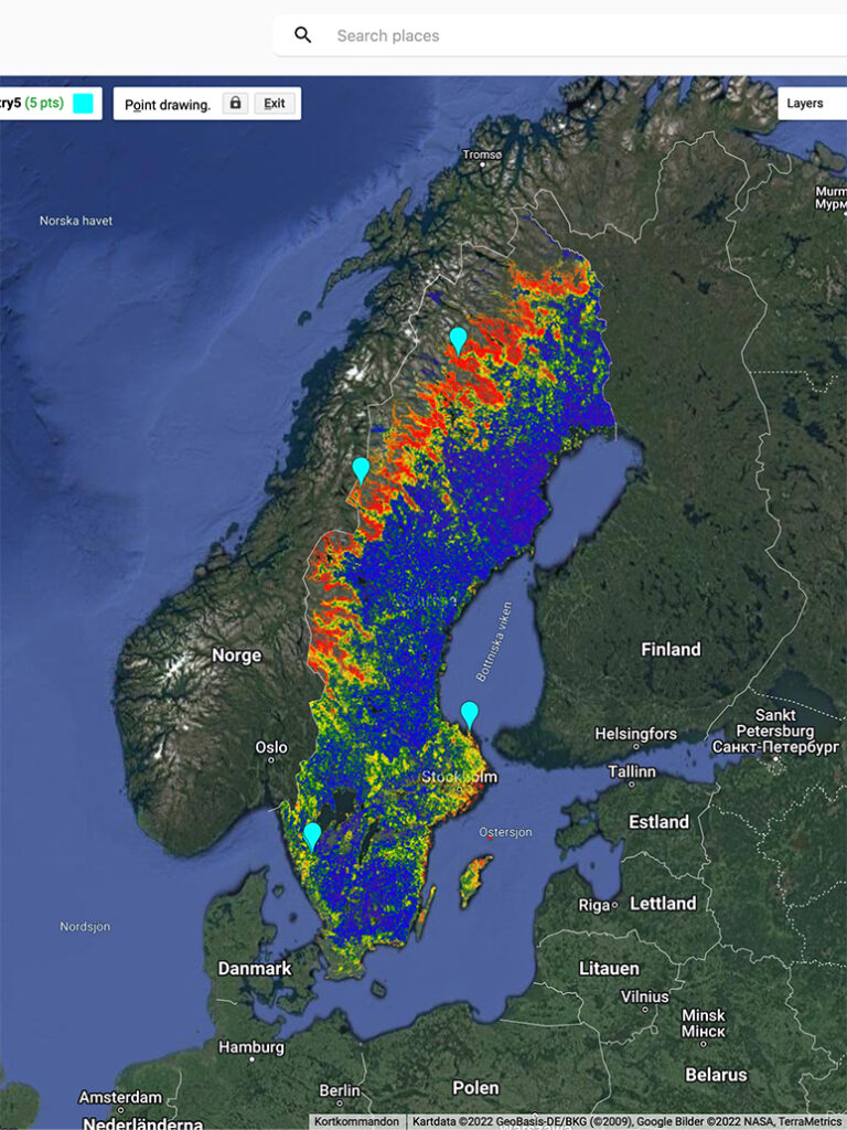
The map tool aims to map the core areas that are hotspots for high nature values, and how these areas are connected in a Green Infrastructure(GI). The map can be used to find areas where there is a high chance of finding hotspots and for e.g. county administrative boards to be able to plan GI at landscape level. The red areas on the map are where there is the greatest chance of finding old-growth forest. Blue areas are clear-cut sometime during the last 70 years and are biological coldspots.
The study highlights the lack of high nature values in large parts of the country's productive forest land. The UN's Aichi Target #11 within the Convention on Biological Diversity (CBD) can be expressed as at least 17-20% effective GI to be achieved throughout the country, according to Sweden's international commitment to biodiversity for 2020. While effective GI is 54% for mountainous forest, it is only 12% for the whole of Sweden and the productive forest land below mountainous forest is far from the target of between 3-8% effective GI. Since the countries do not reach the targets, the targets will be "updated" with the aim of 2030 during CBD Cop 15 in Montreal, which starts today Wednesday 7/12 and runs until 19/12.
The map shows that Natural Heritage's forests are located in areas that are hotspots for high nature values and contribute to maintaining green infrastructure. We present the five areas that our 9 forest acquisitions have resulted in, where our statutes offer permanent protection for old-growth forests and thus contribute to reaching Aichi Target #11. In addition to protect high nature values, the Natural Heritage protection also contributes strongly to protect large carbon sinks and allows for our most effective land-based carbon sequestration continue in natural forests. The conservation of natural values and the climate benefits of old-growth forests go hand in hand.
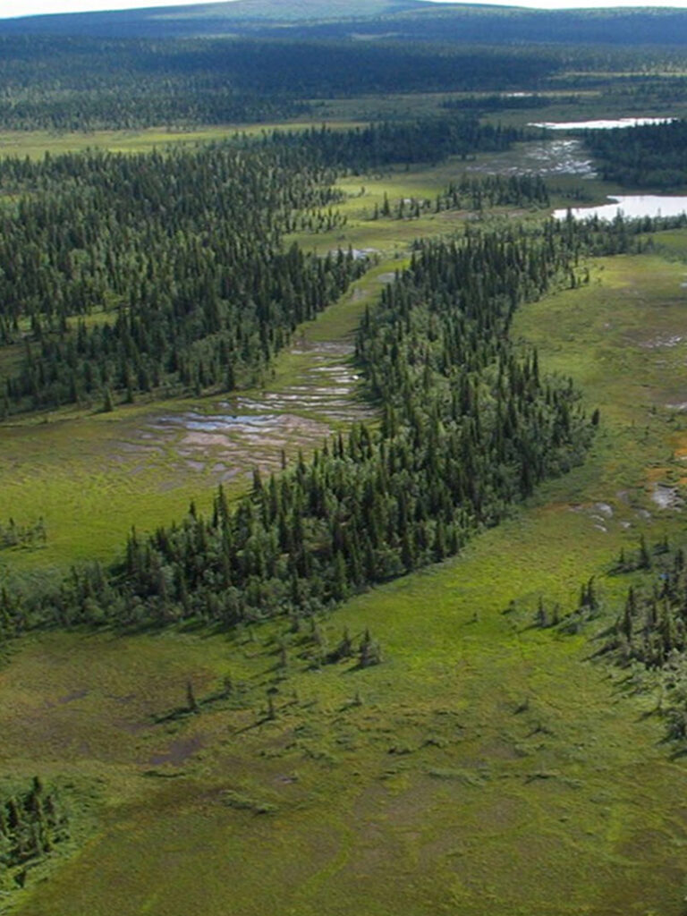
On the map of Sweden you can see that the Natural Heritage forests represent a wide range of forests in Norrbotten (1 acquisition), Jämtland (1 acquisition), Västra Götaland (4 acquisitions in 2 areas) and Uppland (3 acquisitions in 1 area). The two forests in northern Sweden are natural mountain forests with different characteristics, lowland forest in Norrbotten and stream-rich forest on a mountain slope in Jämtland. All areas in Västra Götaland are located in Ale municipality and represent partly different forest types. The area in Uppland is located on Gräsö and is a mosaic of different biotopes. Every day from tomorrow 8/12 to 13/12 there will be a brief presentation of the different areas. There are also links to more information about each forest.