Runes old-growth forest
The property - (click here to show hide)
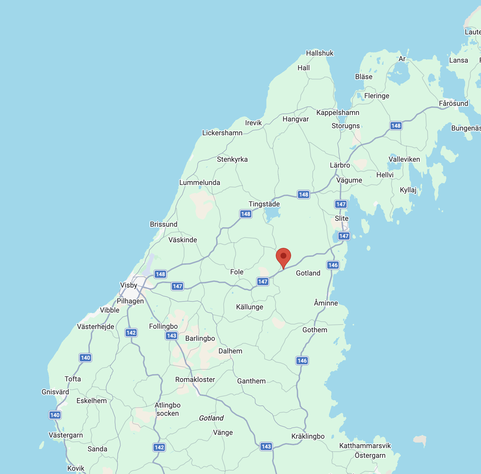
Naturarvet signed a contract and took possession of Rune’ old-growth forest , on June 15, 2026. The forest is located outside the village of Bäl, east of Visby on Gotland. In September, we received final approval for the acquisition, and we are now the proud owners of this gem. The 18.16-hectare property lies 37 meters above sea level, with open farmland to the west and forested land to the east, in an area featuring several small and a few larger nature reserves. To the north lies the Hejnum Hällar Nature Reserve, and to the southeast, just a stone’s throw away, is the slightly larger Bälsalvret Nature Reserve. The forest consists of a coniferous forest area of varying character. The terrain is gently rolling, with moist, forested depressions and higher-elevation, drier coniferous forest sections on gravel ridges. In the center of the property lies Killingmyren, which covers just over 1 hectare. The former owner entered into a 50-year nature conservation agreement with the County Administrative Board on May 15, 2009. Thanks to the fact that the Swedish Society for Nature Conservation ( Naturarvet ) was offered the opportunity to take over the property from the owner’s estate, it is now preserved for all time.
Nature - (click here to show hide)
How to get here - (click here to show/hide)
The forest is located in the parish of Bäls, between Visby and Slite along Route 147. There are two ways to get to the forest by car. 1) Follow Route 147; about two kilometers past the exit for Bäls Church, turn left onto a small gravel road that leads to the former gravel pit (and then continue back onto Route 147). Park at the beginning of that road. Keep to the left onto the trail. To the left of the wildlife pond/former gravel pit, you’ll find yourself in the forest. 2) Turn off Route 147 toward Hejnum. After about one kilometer, you’ll come to a gravel road on the right. The gravel road leads down into an old gravel pit, and from there a trail leads into the forest. Both this gravel road and the gravel pit are public land. By public transportation, take County Bus 22 from Visby or Slite to the Bäl Uppuse stop. Plan your trip with Public Transportation on Gotland. Follow the gravel road that runs parallel to Route 147 for about one kilometer until it joins the road to Hejnum. Follow that road to the same gravel road and gravel pit as in Option 2 above. You can use the coordinates as a guide 57.65585782304353, 18.65646609503376 which shows the center of the property and Killingmyren. There are several trails in the area that are used for both walking and horseback riding. Please respect the right of public access and do not disturb the peace and quiet of residents and vacation home owners in the area. Do not park on or walk on private roads or land. You are personally responsible for any damage to your vehicle caused by driving on rough roads.